The place
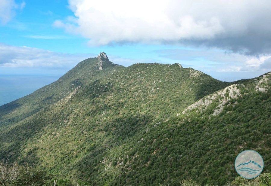
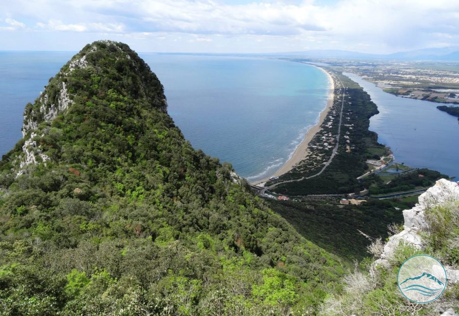
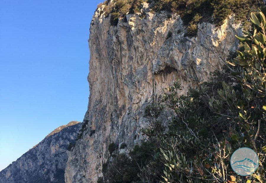
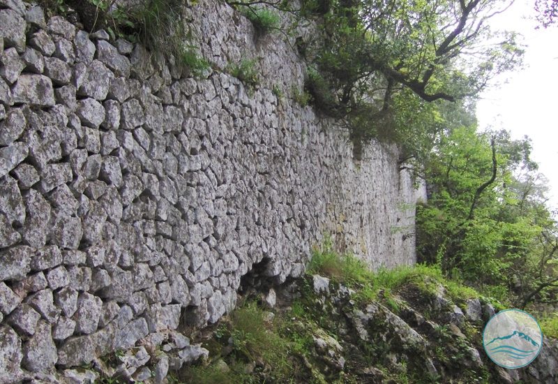
This hiking route climbs from the Selvapiana area to the Picco di Circe, the summit of the promontory at 541 metres. It is one of three routes to the top, each with its own character and elevation gain. The trail winds through the Mediterranean scrub of the National Park. On the summit stand the remains of ancient structures attributed to the sanctuary of ancient Circeii, recently studied with the help of remote-sensing surveys. From the top, the view sweeps across the coastal dunes and the lakes of Sabaudia, the Gulf of Gaeta and the Pontine Islands.